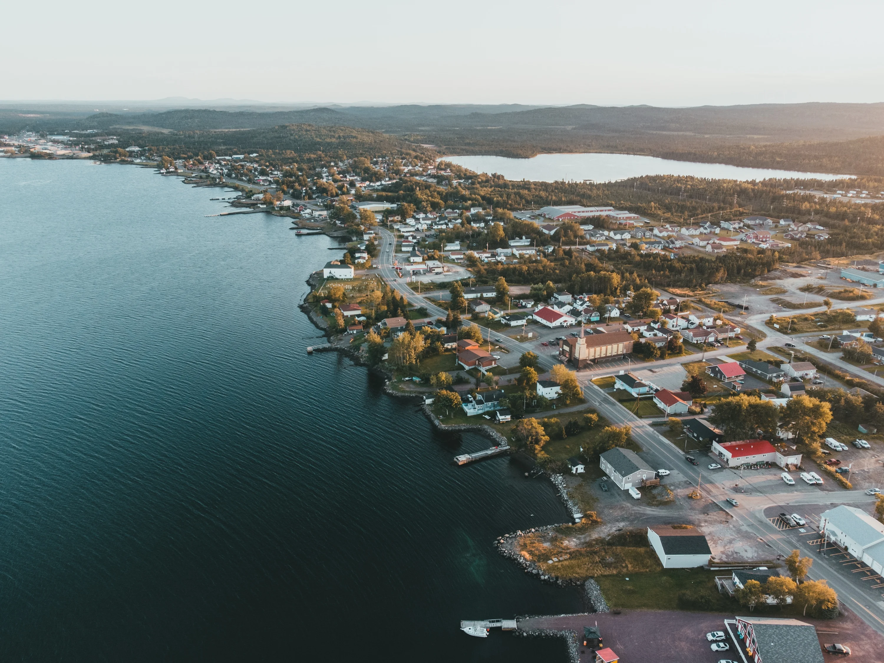
Around Lewisporte
Out the door, and up the road
Walks in town, a berry farm on the 340, and two islands you reach by ferry — with every drive measured from ours.
A seaport town, in every season
Lewisporte sits at the head of Burnt Bay, in Notre Dame Bay. Hiking, boating, whales and icebergs through the summer; snowmobiling and skiing once the snow comes. Most of what follows is a walk or a short drive.
In town
Walk it, or five minutes in the car.
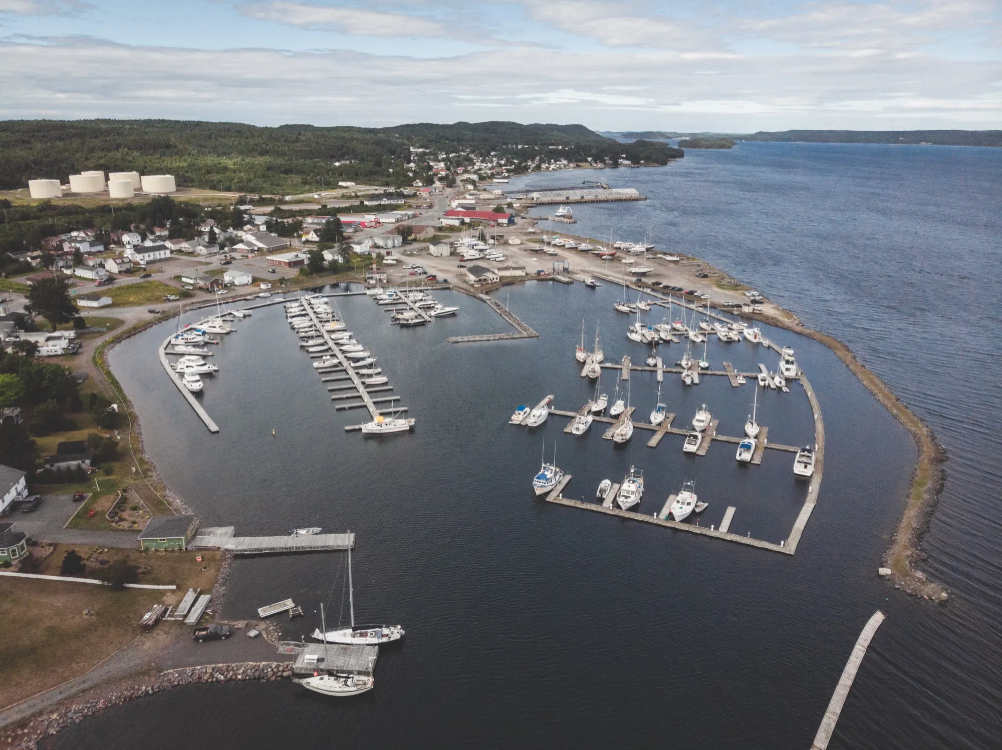
Lewisporte Marina
The working heart of the seaport town — boats, water views, and a walk right at the head of the bay.
Take me there:Organic MapsOsmAndApple MapsGoogle MapsWazeAll five carry over to CarPlay and Android Auto. The first two run on OpenStreetMap and don’t track you.
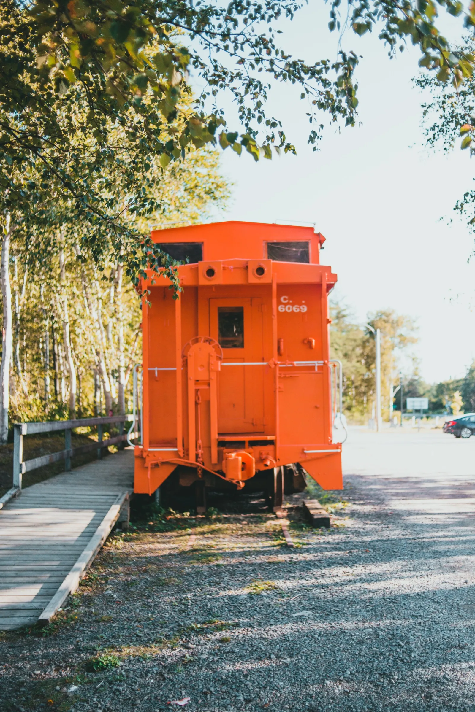
Train Park
A local park built around Lewisporte's railway history, complete with a restored CN caboose.
Take me there:Organic MapsOsmAndApple MapsGoogle MapsWazeAll five carry over to CarPlay and Android Auto. The first two run on OpenStreetMap and don’t track you.
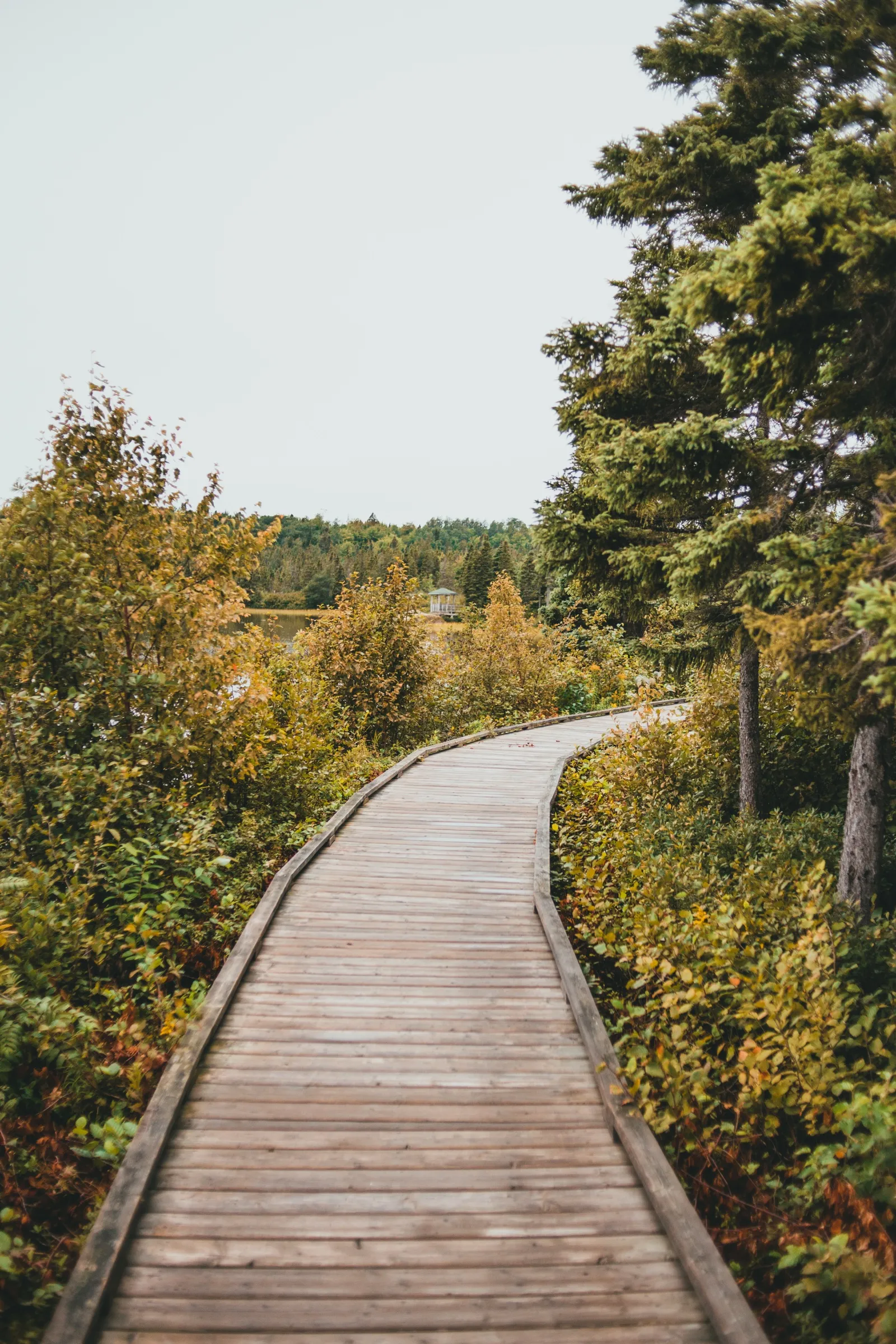
Woolfrey's Pond Boardwalk
An easy boardwalk trail through the trees along the pond.
Take me there:Organic MapsOsmAndApple MapsGoogle MapsWazeAll five carry over to CarPlay and Android Auto. The first two run on OpenStreetMap and don’t track you.
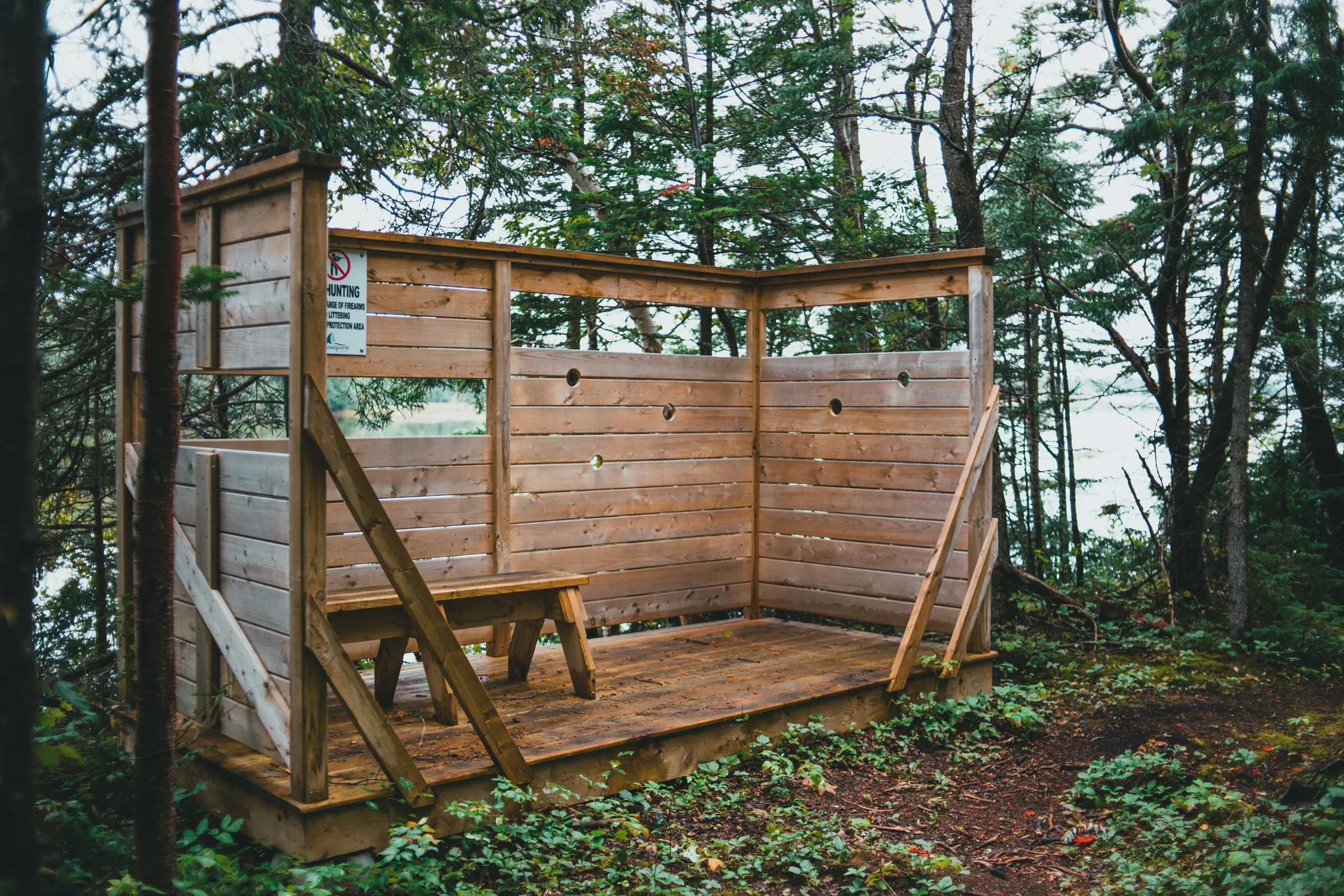
South West Brook Estuary Bird Sanctuary Trail
A quiet trail along the estuary with a birdwatching blind — bring binoculars.

Kinden's Bakery & Café
Fresh baking at 151 Main Street, minutes from the villa — guests get 20% off with the coupon included with your room.
151 Main Street, Lewisporte
A short drive
Out and back inside a morning.
Where it is
Highway 340 — the Road to the Isles — Campbellton
Campbellton Berry Farm
18 km · about 17 minutes
U-pick strawberries, raspberries, haskap and black currants at a working farm, with a farm market and a petting barn — Exploits Island sheep, goats, ducks and peafowl. Berry season only, so ring ahead before you drive out.
Highway 340 — the Road to the Isles — Campbellton
Give it a day
Worth the drive, and worth not rushing.
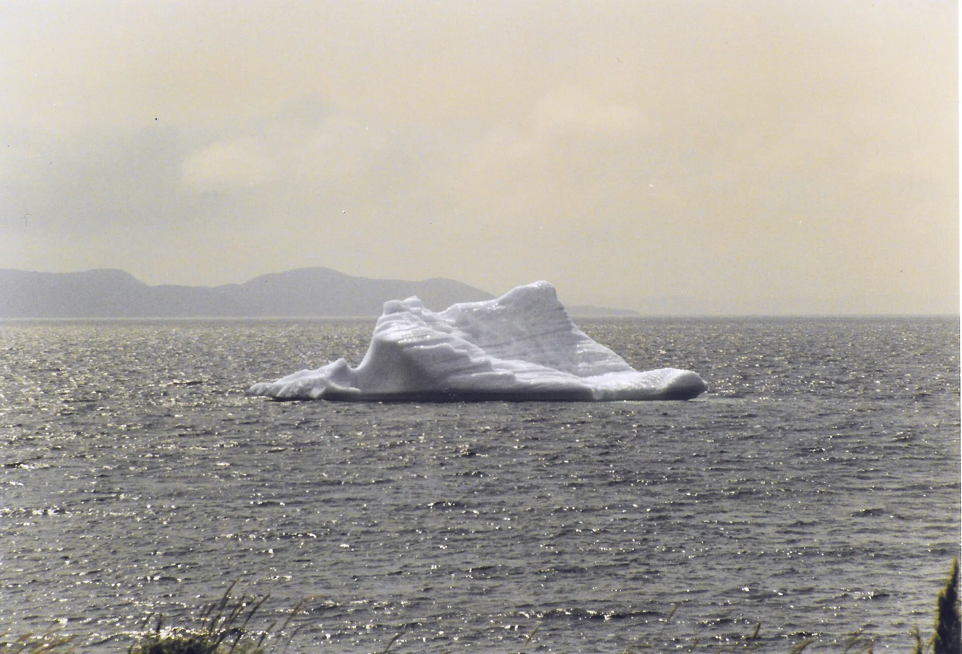
Photo: Eduard47 · CC BY-SA 4.0 · source
Twillingate
92 km · about 1 hour 25
The other island you can reach without a boat — joined to the main island by causeway, and the best-known place in the province to see a berg from land.
Bergs are a May and June business here, not April: in April they are usually locked in pack ice and the boats cannot get out. Twillingate runs its iceberg festival the second weekend of May.
Take me there:Organic MapsOsmAndApple MapsGoogle MapsWazeAll five carry over to CarPlay and Android Auto. The first two run on OpenStreetMap and don’t track you.
The drive, measured on From the Airport
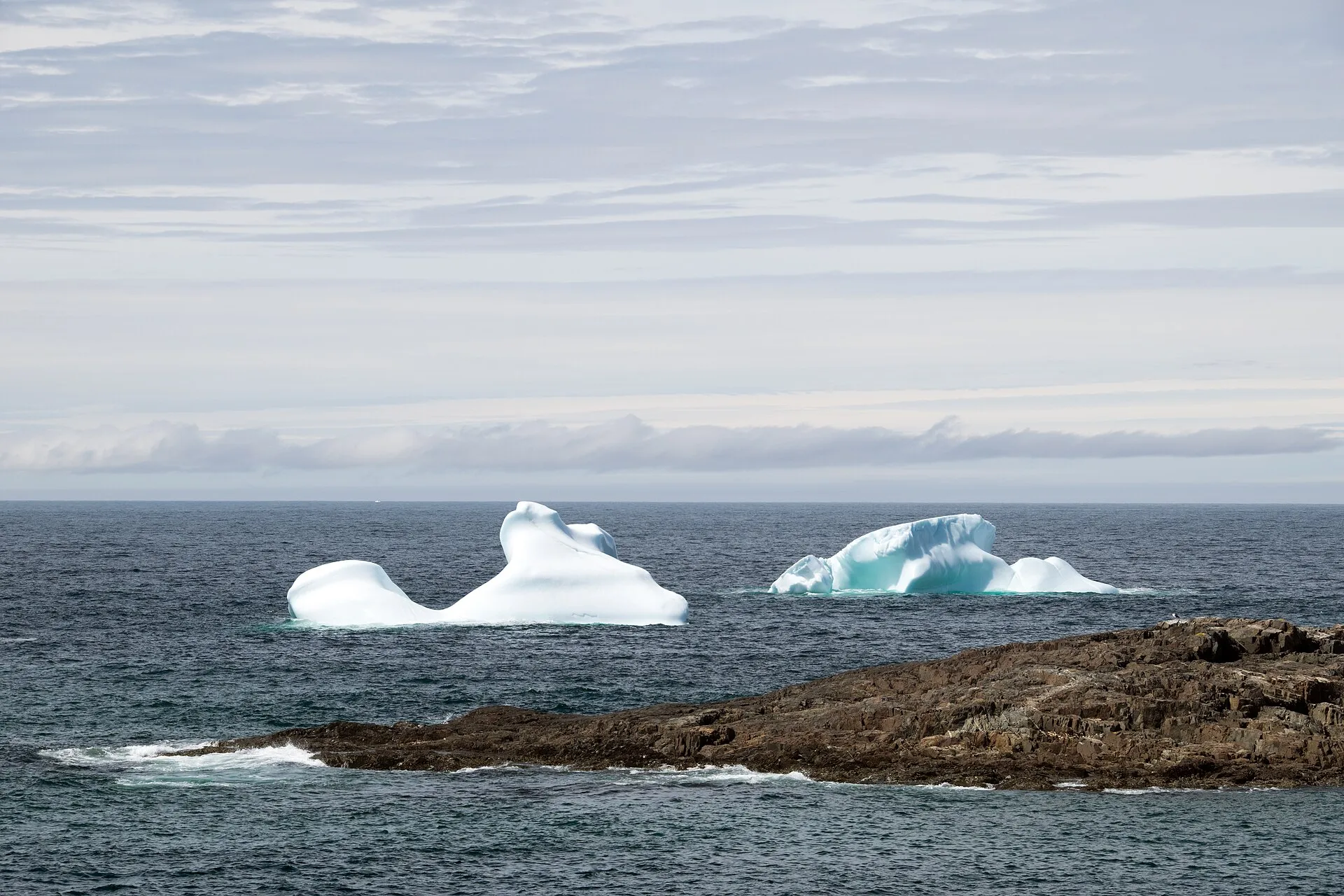
Photo: Paul Asman and Jill Lenoble · CC BY 2.0 · source
Fogo Island
74 km to the Farewell ferry · about 1 hour 10, then the crossing
The island that stayed when resettlement emptied others. Drive to Farewell, then the provincial ferry does the rest.
Take me there:Organic MapsOsmAndApple MapsGoogle MapsWazeAll five carry over to CarPlay and Android Auto. The first two run on OpenStreetMap and don’t track you.
The drive, measured on From the Airport
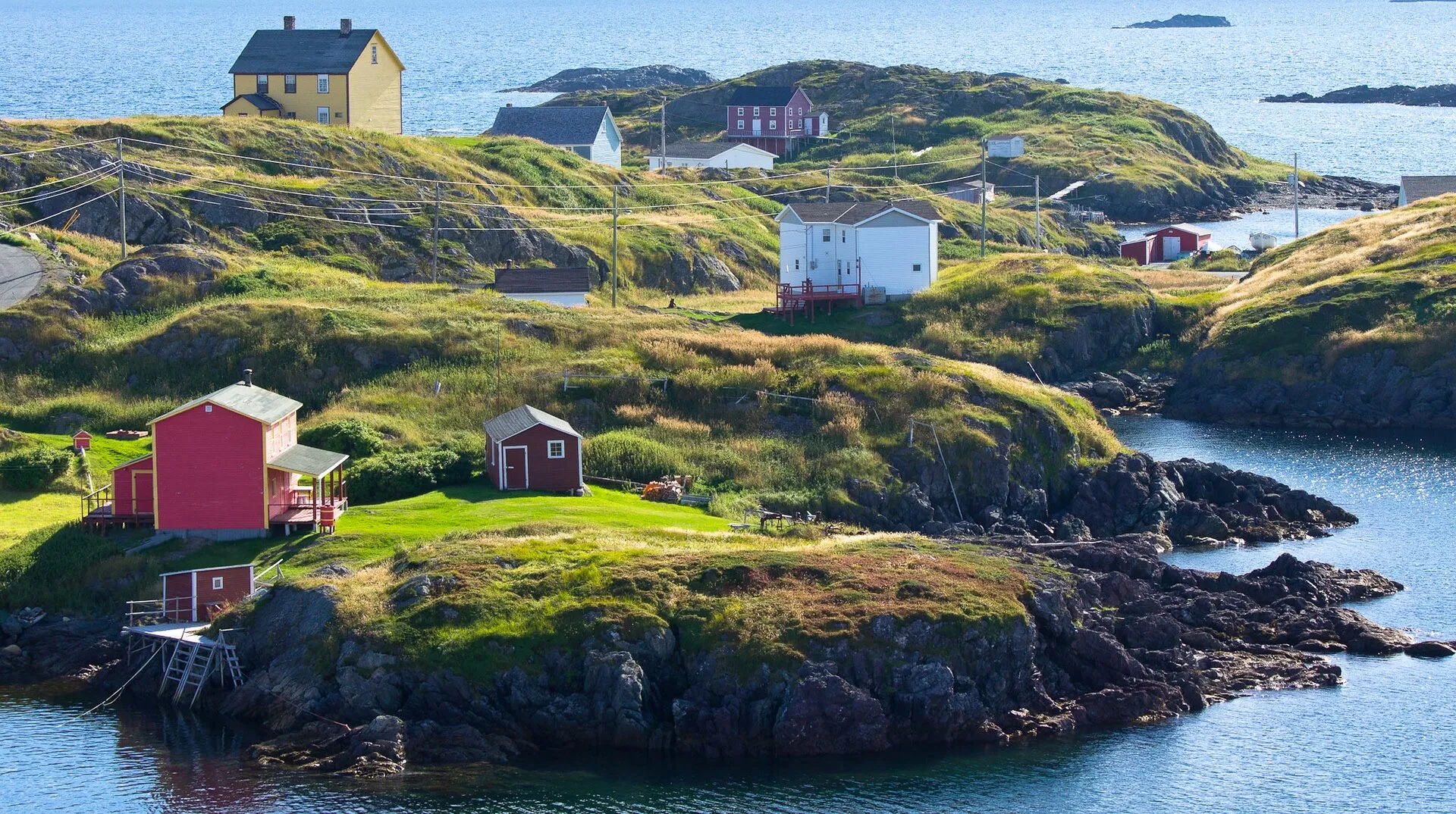
Photo: Stephen Booth · CC0 1.0 · source
Change Islands
74 km to the Farewell ferry · about 1 hour 10, then the crossing
The same ferry out of Farewell, one stop earlier — smaller, quieter, and a shorter crossing.
Take me there:Organic MapsOsmAndApple MapsGoogle MapsWazeAll five carry over to CarPlay and Android Auto. The first two run on OpenStreetMap and don’t track you.
The drive, measured on From the Airport
Getting out to the islands
Fogo Island and Change Islands
Two of our rooms are named for them, and you can go. One provincial ferry out of Farewell serves both islands, so the drive above gets you to the same slipway either way.
Fogo Island – Change Islands – Farewell timetable— sailings change with the season, so check the day before.
Arriving hungry
Where the food is on the way in
If you land late, the question is not where to eat in Lewisporte — it is whether there is anything open between the airport and here. Both drives, measured along the road rather than guessed:
- From Gander (YQX) · 62.8 km
- The longest stretch with nothing on it is 33.9 km. About an hour. There is food in Gander before you set off and one stop roughly halfway; after that it is a straight run to town.
- From Deer Lake (YDF) · 274.6 km
- The longest stretch with nothing on it is 127.3 km. The long empty stretch comes early — the first two hours out of Deer Lake are the thinnest part of the whole drive. Grand Falls-Windsor, about an hour before us, is the last place with a real choice.
Measured from OpenStreetMap, 2026-09-11. Distances only — no ratings, no prices and no opening hours, because a place that has closed stays on the map until somebody removes it. For where to eat once you are here, the town's own site is below.
That is the road, not the town. For supper in Lewisporte — and there is a good deal more of it than the open map knows — see Destination Lewisporte’s own list, or ask at the desk.
More of the town
Where to eat, and what’s on
The town keeps its own tourism site, and it is better than us at two things: the places to eat, and the events calendar — which fills up over the summer.
Places to eat →What’s on in Lewisporte →
Destination Lewisporte, the town’s own site — so it is kept current by people who live here, not by us.
Getting to any of it
How far, on what road
Every drive on this page is measured on the road network rather than estimated. The same guide lists what is worth stopping at along the road in from Gander — the aviation museum, the provincial parks, the lookout — and the places to eat that the open map data records within six kilometres of town.
Lewisporte on From the Airport →The drive in from Gander →
From the Airport is run by Northkey, who built this site. It is free, it carries no advertising, and we would rather tell you whose it is than have you find out.